Drones across the water
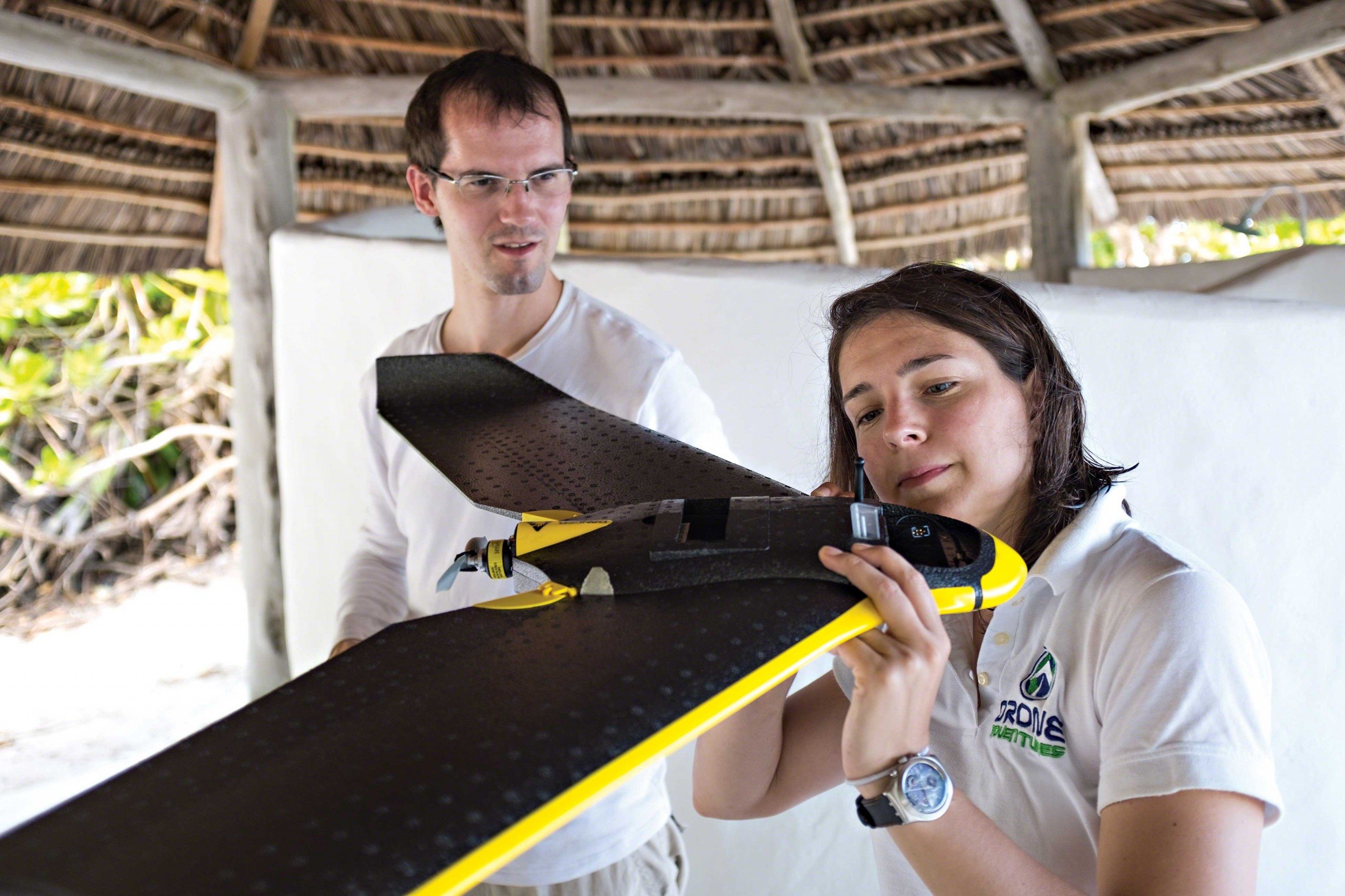
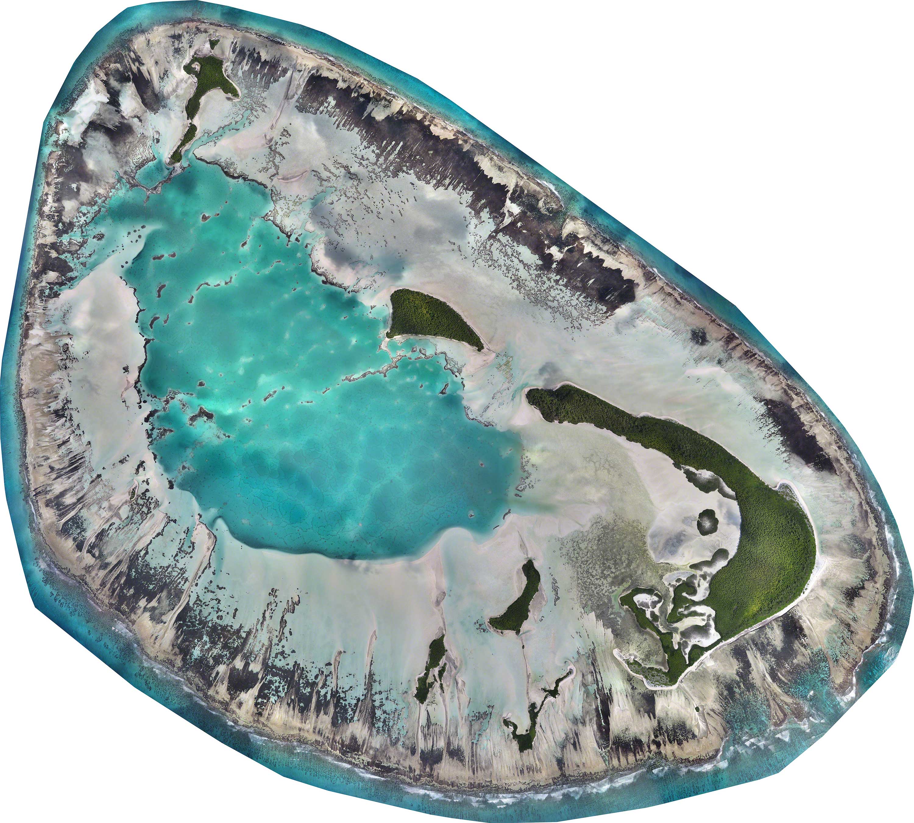
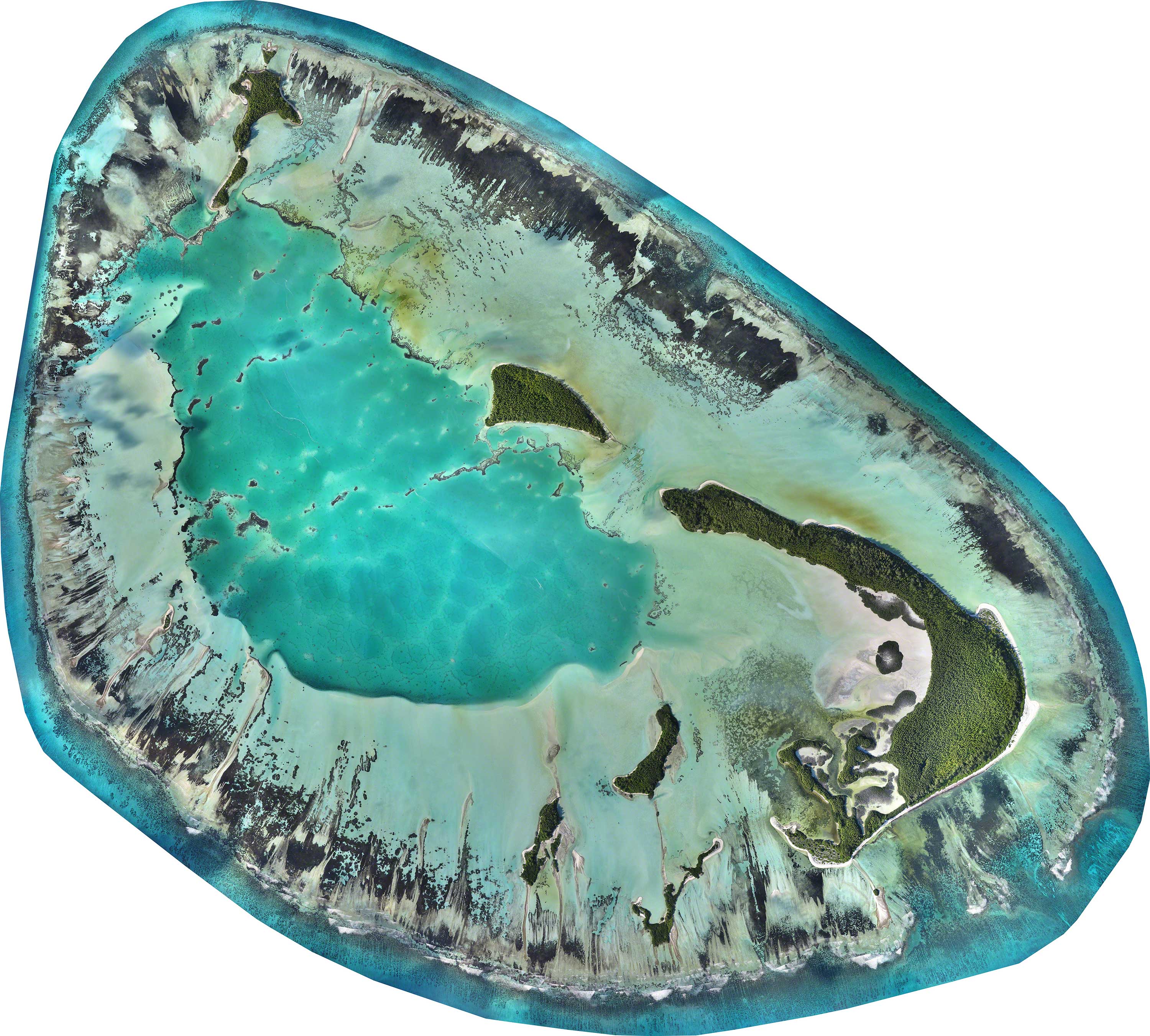
Drones get their share of negative press relating to privacy issues and military usage, but there’s far more to them than that. Drone Adventures, an association of volunteers, was founded three years ago to demonstrate that drones are perfect for humanitarian and nature conservation purposes too. To prove the point, the Save Our Seas Foundation recruited Drone Adventures to help its researchers at D’Arros Island and St Joseph Atoll in the Seychelles.
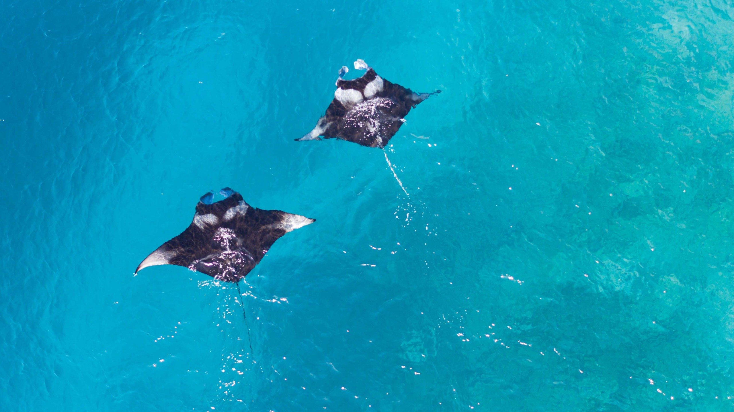
Photo by Thomas Peschak
Drones have become a major force in the civilian world over the past three years as people are becoming aware of more and more applications for them. The most obvious are aerial photography, mapping and surveillance, but there are many, many more. Just about any movie you see today has scenes that were filmed using drones; civil engineers worldwide get help from drones every day to produce maps and 3D models for their projects; and the future of merchandise transport has opened up, with drones being used to deliver parcels right to the consumer’s front door.
But why is there all this hype about drones? Many reasons come to mind, the most important of which is probably that drones give us new perspectives and open up new possibilities – and all at a fraction of the cost of current technologies such as satellite imaging or photographs taken from manned aircraft. Drones, moreover, are easy to use, which makes them available to a large number of people with little or no specialist knowledge of operating them.
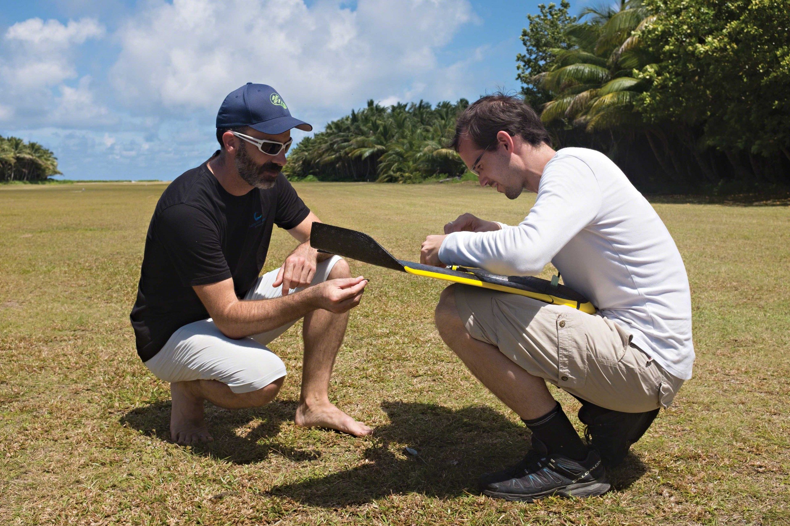
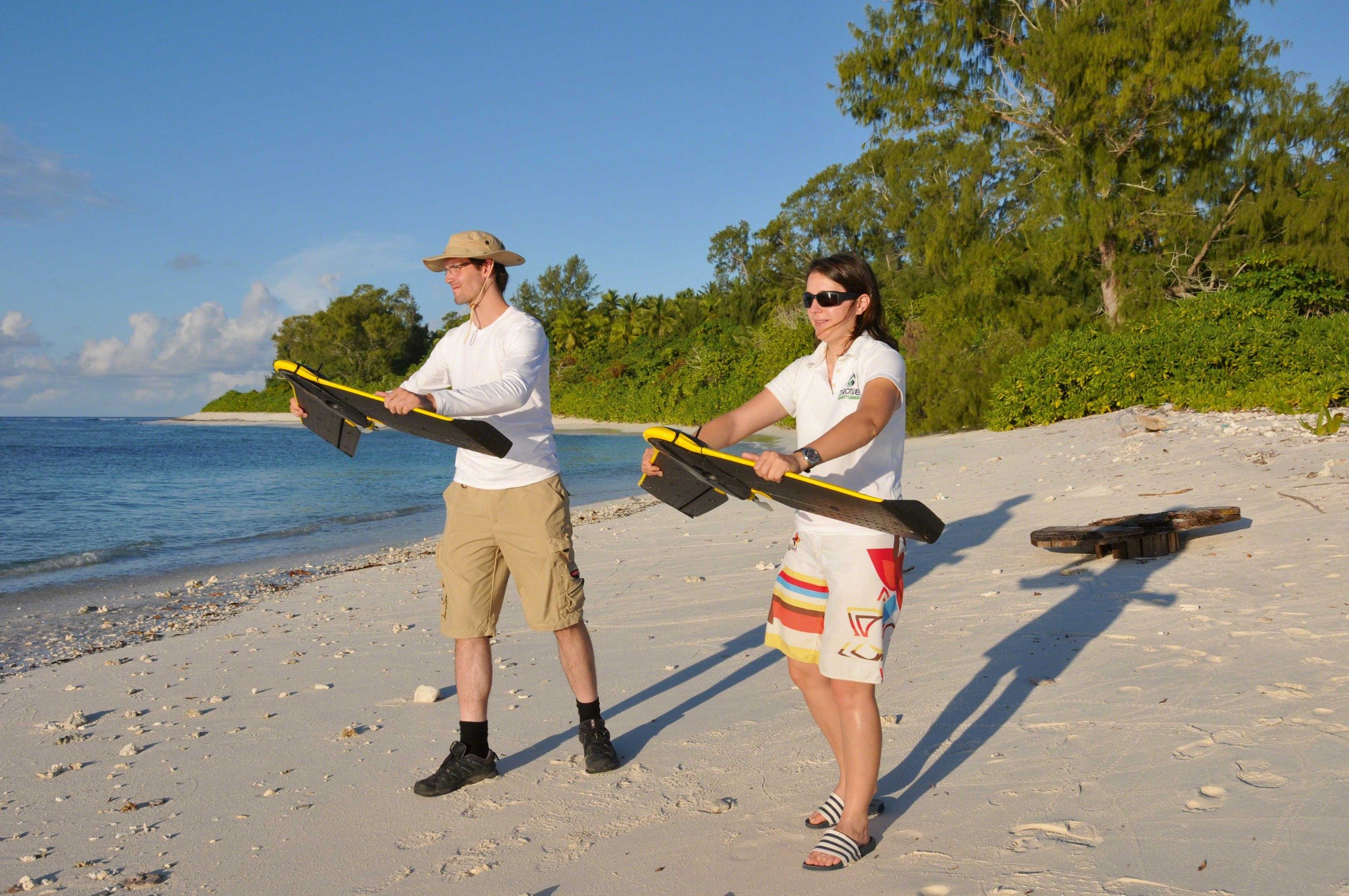
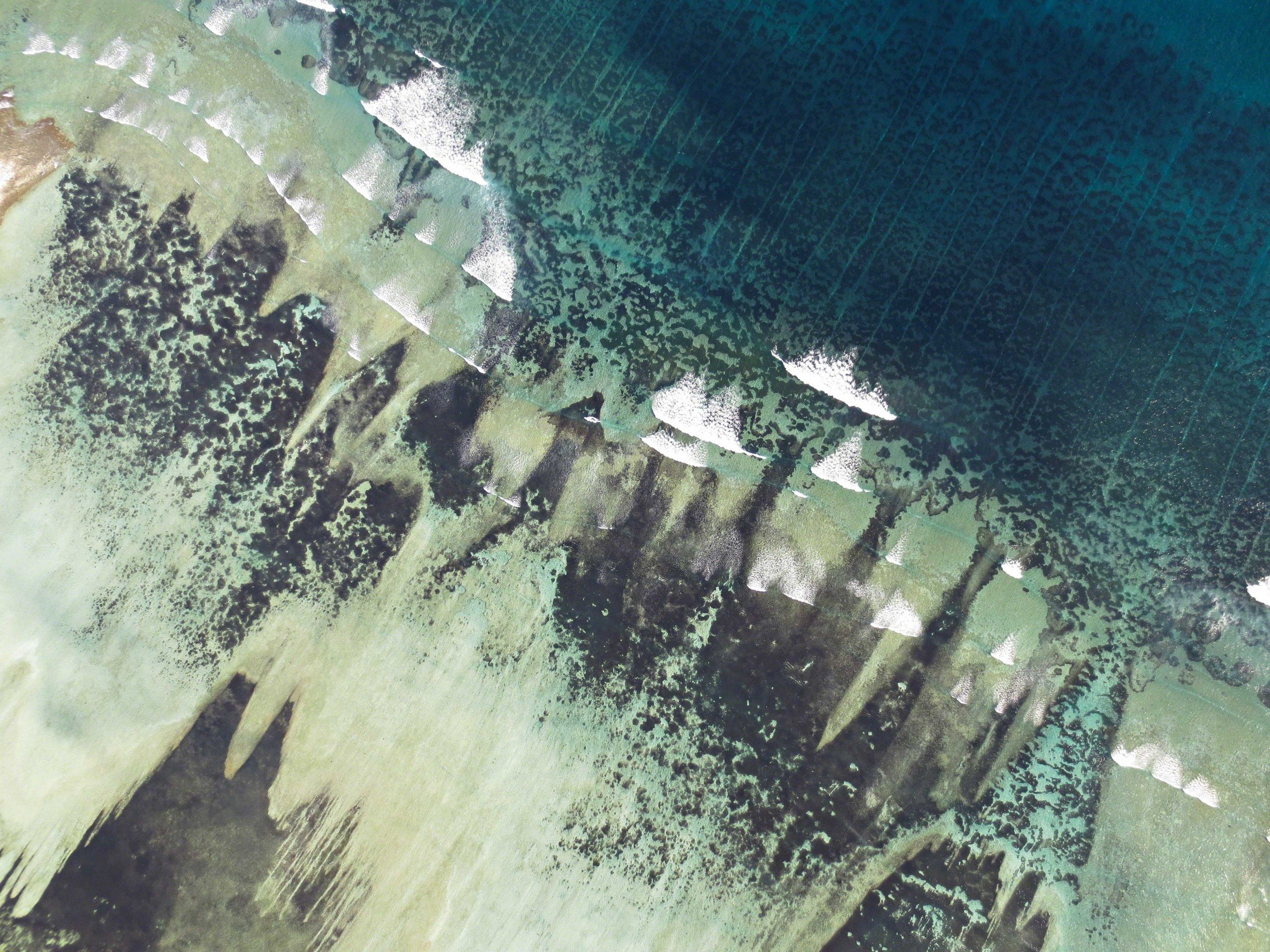
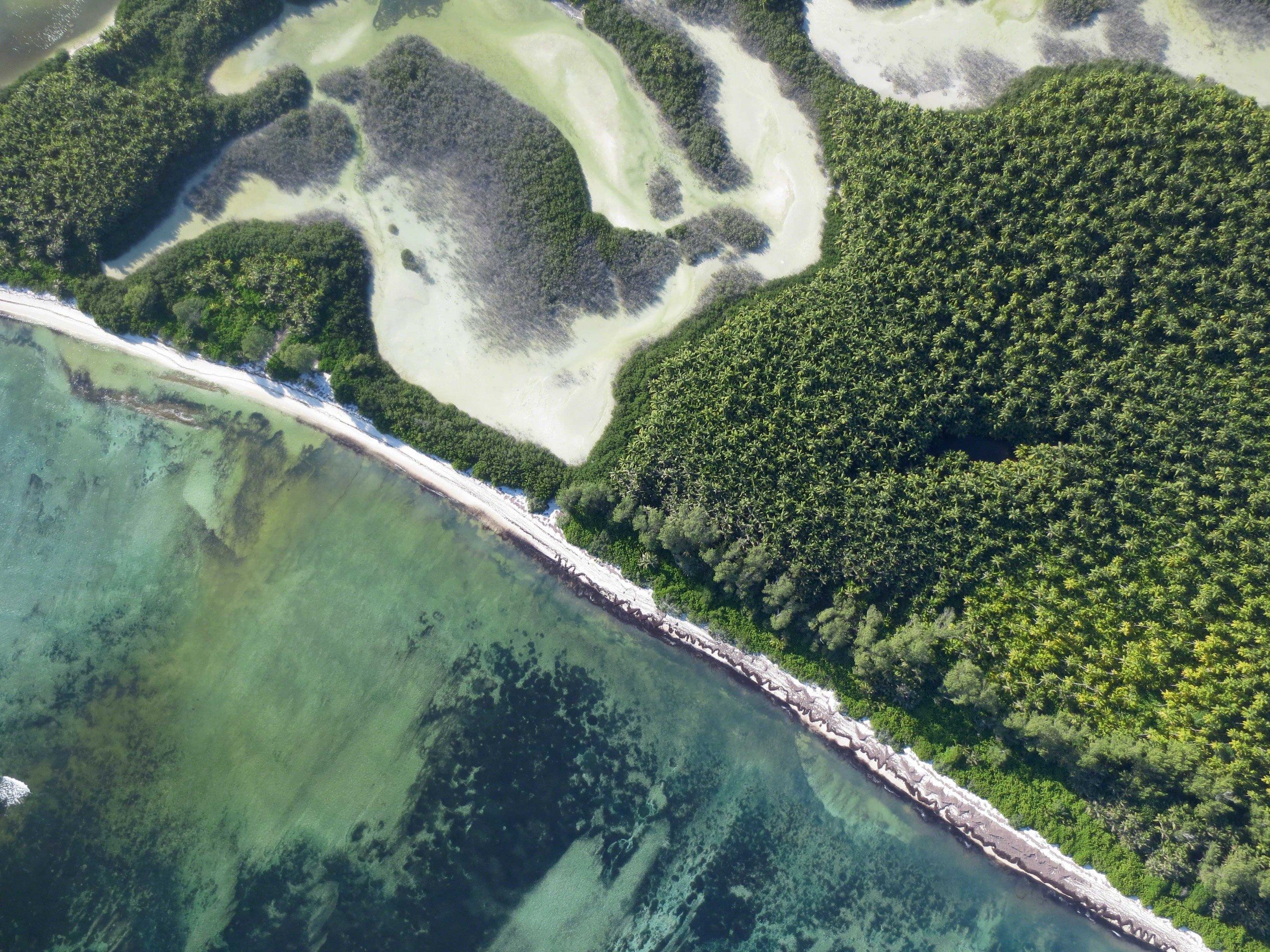
In many areas of nature conservation drones can be a game changer. They enable researchers and conservationists to create quickly and cheaply their own high-resolution maps and 3D models that can then be used to analyse information and to answer questions relating to the environment. An example is our Savmap initiative, in which we developed a monitoring tool for sustainable land-use management and the conservation of rare species in Namibia’s semi-arid savanna. Drones are also an excellent tool for tracking poaching activities and acquiring imagery that enables researchers to analyse inaccessible areas and count animals.


SOSF D’Arros Research Centre
A biological field station based on D’Arros Island in the Amirantes Group, Seychelles, the SOSF D’Arros Research Centre (SOSF–DRC) conducts research on the pristine D’Arros Island and St Joseph Atoll and the waters around them. In recognition of the islands’ outstanding natural values, the research centre was established in 2004 and tasked with becoming a regional centre of excellence for marine and tropical island conservation. Initially, collaborations were established with local and international institutions and baseline ecological surveys were conducted in the various habitats. Over the ensuing years an increasing number of research projects and monitoring programmes were implemented in response to questions raised by the baseline surveys and by visiting scientists. More recently, the centre expanded its activities to include ecosystem restoration and environmental education.
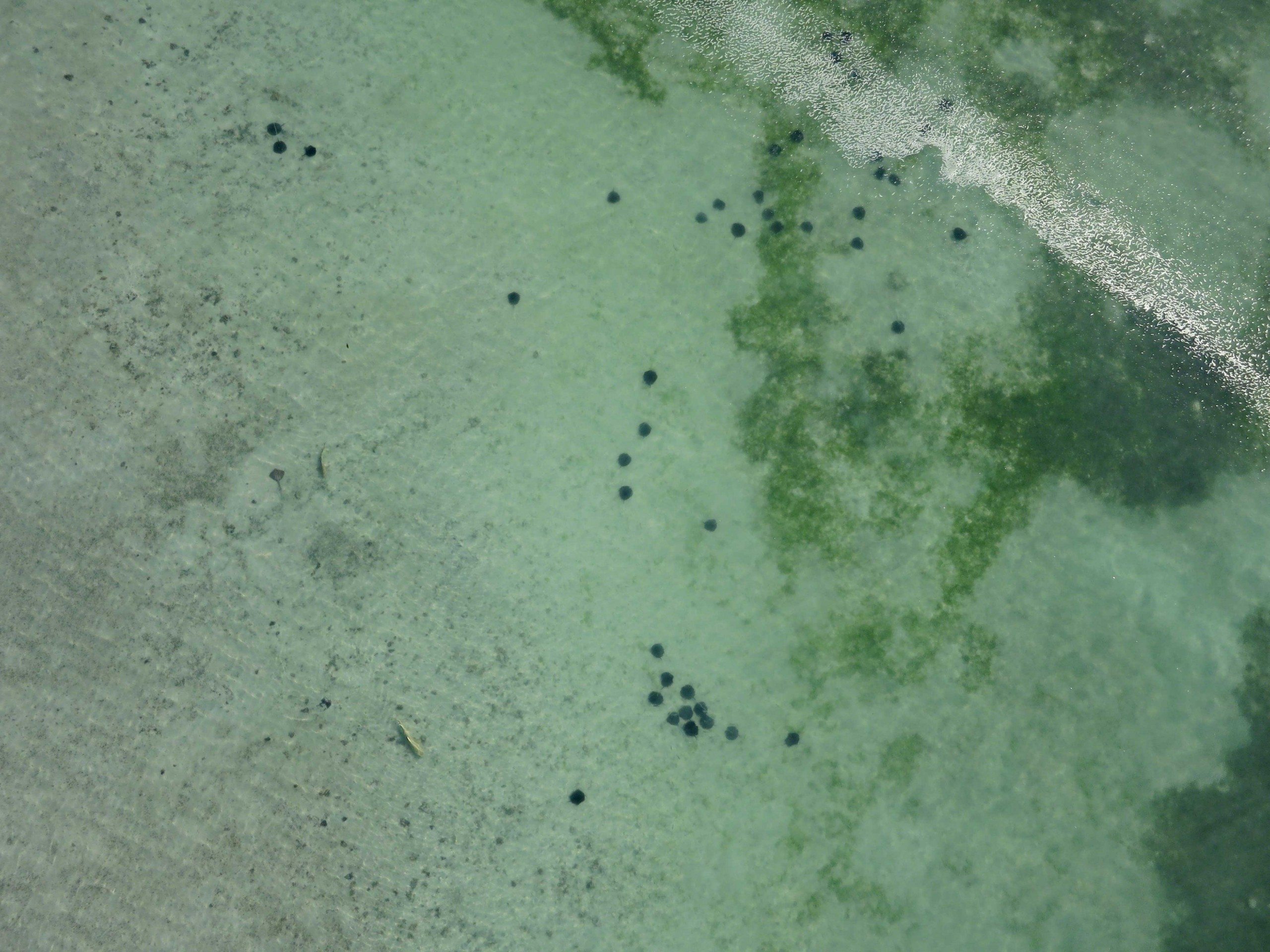
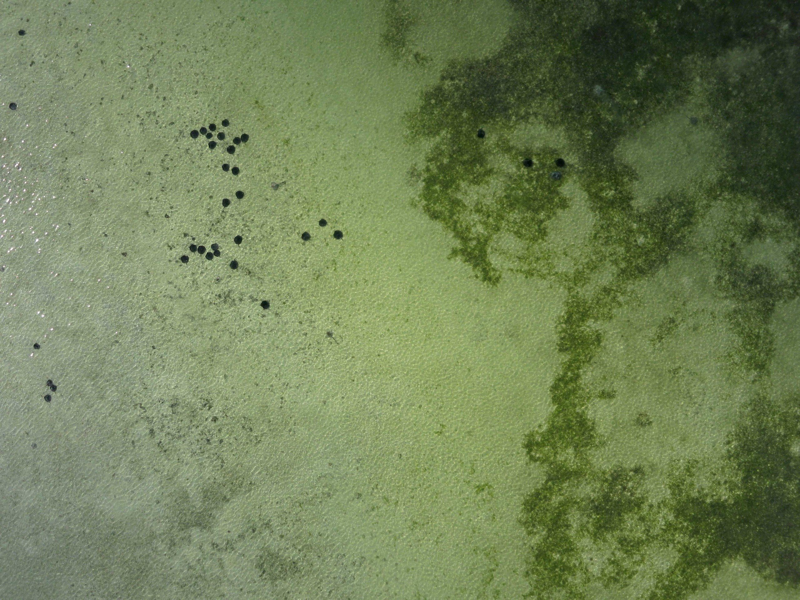
Today the SOSF–DRC boasts the longest-running nesting turtle monitoring programme in the Amirantes and the most detailed and technically advanced coral reef monitoring programme in the Seychelles, making use of techniques such as stereo-video photogrammetry, photoquadrats, remote underwater video systems (BRUVs) and visual census. The research centre also maintains the largest acoustic receiver array in the Seychelles, which monitors the local movements of sharks, manta rays, stingrays, turtles and fish. Since its inception in 2004, the centre has initiated no fewer than 36 research projects in collaboration with more than 26 conservation institutions. The projects have resulted in 10 peer-reviewed scientific papers, one PhD and one MSc dissertation, five conference presentations and 27 scientific reports.